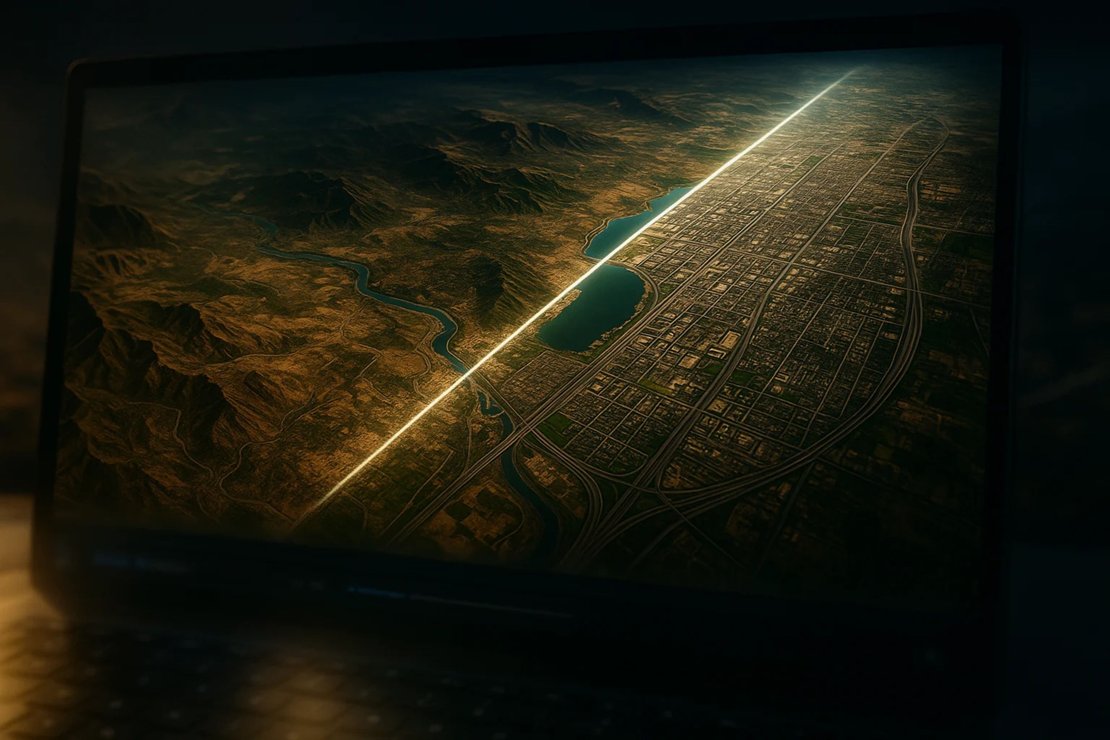
Google rolls back one-click AI “satellite images” in Earth after policy-violating shares
The feature lasted about a day, raising fresh concern that synthetic geospatial visuals can outrun verification in fast markets.
Google has removed a new Google Earth web feature that let users generate AI “satellite-style” images from text prompts with a single click, pulling it about a day after unveiling it. The rollback follows the circulation of shared screenshots Google said appeared to violate its policies, as open-source investigators warned the tool could accelerate crisis misinformation.
Key Takeaways
- Google removed a Google Earth web feature that enabled one-click AI-generated “satellite” images about a day after unveiling it, citing policy-violating shared screenshots and a need for stronger guardrails.
- The company said geospatial professionals were using the tool for legitimate work, but the same workflow also produced imagery that appeared to cross Google’s policies.
- Open-source researcher Henk van Ess said sensitive prompts were accepted without refusals, including conflict and crisis scenarios.
- Journalists generated synthetic scenes of Kharg Island (Iran) on fire and flooding around the U.S. Capitol complex, and said neither event had occurred.
Google Pulls One-Click AI “Satellite Images” From Earth After a One-Day Run
Google rolled back a new Google Earth web feature that let users generate AI “satellite images” from a text prompt, removing it roughly a day after it was unveiled. The company said it was pulling the tool while it implements “stronger guardrails,” after seeing screenshots of generated imagery being shared that appeared to violate its policies.
Mechanically, the feature collapsed a multi-step fabrication workflow into a native button inside a reference product. Google’s initial instructions described a simple loop: “Just zoom in to a place in Google Earth on web (sic), tap 'create image,' and type whatever you want to see,” wrote product manager Bryan Horowitz.
Google framed the rollback as a safety response, not a rejection of the use case. “We've seen geospatial professionals using this feature for a range of useful purposes,” the company said in a statement posted on X. “However we've also seen people sharing screenshots of generated imagery that appear to violate our policies. So we're rolling back this feature in Google Earth while we work on implementing stronger guardrails.”
The company also said it “takes misinformation seriously,” and pointed to labeling controls. Google said all generated images are marked with its SynthID watermark and would be flagged as AI-generated in other Google tools such as Gemini. It also said it prevents image creation on harmful topics and continually updates protections.
Why Synthetic “From Space” Visuals Matter for Fast Markets
Satellite imagery sits in a weird place in the information stack: it is often treated as a verification primitive, not just another piece of content. Open-source investigators (OSINT) use it to confirm whether a video is geolocated correctly, whether a facility is damaged, or whether a claimed fire or flood has any visible footprint. Google Earth is not always the freshest feed, but its global coverage makes it a default reference layer when a breaking claim hits.
Embedding one-click generation inside that same interface changes the threat model. A deepfake is usually framed as a social-media problem, but synthetic “from space” visuals are tailor-made for the kinds of geopolitical and disaster narratives that markets price before the evidence clears. A plausible-looking image of an oil terminal burning, a military base hit, or a capital district flooded can move risk sentiment and sector pricing quickly, even if the correction arrives hours later.
That speed gap is the point. Bellingcat senior researcher Jake Godin said satellite imagery has historically been a “safe bet” for verification because it is hard to fake, with sources typically controlled by companies or institutions and a camera hundreds of miles above the earth that has been difficult to imitate. One-click generation, he argued, does not invent the incentive to fake. It removes the friction that kept output volume low.
Godin’s warning is less about a single convincing image and more about throughput. “It's just streamlining the process, which I think is going to make it proliferate more,” he said. In fast markets, proliferation is the mechanism that matters because it increases the odds that a fake becomes the first “proof” traders see.
What Researchers Could Generate
The early public testing that circulated was not subtle. Open-source researcher Henk van Ess said he tried prompts that map directly to sensitive, real-world scenarios and got no refusals: “I tried refugees at the Mexican border, a nuclear plant in Iran, a crash in Amsterdam, a hospital with a bomb crater in Gaza. Nothing was refused,” he said.
That matters because it suggests topic filtering was porous in practice, at least in the version that shipped. If a tool will generate crisis-adjacent scenes on demand, it is likely to be used during live crises, not just in hypothetical abuse cases.
Journalists were also able to generate synthetic scenes that would read as major breaking news if they were real. NPR generated AI images depicting multiple fires on and near Kharg Island, Iran, which it described as home to a strategic oil terminal in the Persian Gulf. It also generated an image showing significant flooding around the U.S. Capitol complex. NPR said both depicted events had not happened.
The open-source and visual forensics community reaction was blunt, and it focused on process as much as outcome. Evan Hill, a visual forensics investigator at The Washington Post, questioned whether the feature had been stress-tested internally through red teaming, writing: “Very curious how or if this idea was red teamed internally because the opportunities for abuse and disinfo are literally boundless.”
There is also precedent for “from space” fakes, even before Google’s one-click workflow. Godin noted that early in the U.S.-Israel war with Iran, fake images circulated of a damaged U.S. base in Bahrain that appeared to use Google Earth images and Google AI to generate fake damage. Later real satellite images showed the base was damaged, but not in the way shown in the fake.
Signals to Monitor Before Any Relaunch
The first signal is whether Google re-enables the “create image” feature in Google Earth at all, and what it changes in the workflow. “Stronger guardrails” can mean blocked topics, added friction, access limits, or human review, and those choices determine whether this is a niche creative tool or a scalable misinformation surface.
Clarity on rollout scope also matters. Google has not specified whether the feature was broadly available or a limited test, and it has not detailed which policy categories were triggered by the shared screenshots it cited. Without that, it is hard to tell whether the rollback was driven by a narrow edge case or a wide-open abuse channel.
Google’s labeling claims will get tested in the real distribution paths that matter: screenshots, crops, reposts, and re-uploads. The practical question is whether SynthID and AI labeling remain detectable after those transformations, and whether Google tools reliably flag the content as AI-generated when it re-enters the ecosystem through Gemini or other surfaces.
Finally, expect more public probing from OSINT and visual forensics researchers. If sensitive prompts start getting refused consistently, that is evidence of real tightening. If they still pass, the “guardrails” will read more like messaging than control.
My Take: The Real Risk Is a Verification Tool Becoming a Content Factory
The part that should land with traders is not that AI can fake images. It is that Google briefly put a one-click generator inside a product many people treat as a reference layer, then pulled it within about a day because policy-violating sharing showed up immediately. That speed reads like an operational risk call, not a theoretical ethics debate.
The threshold that matters is whether a relaunch meaningfully restores friction and enforceable topic blocks, especially for conflict and infrastructure prompts, while keeping labeling intact through screenshots and crops. If those controls hold in the wild, this stays a contained product experiment. If they do not, Google Earth stops being a verification tool under stress and starts functioning as a content factory for the exact kinds of “proof” markets misprice first.


